Used GeoSLAM ZEB REVO RT 3D Laser Scanner
Used GeoSLAM ZEB REVO RT 3D Laser Scanner for sale, complete set ready to scan with GeoSLAM Hub Software license & Training, also 3-year hardware warranty when valid GeoSLAM Care package is in place.
Used GeoSLAM ZEB REVO RT 3D Laser Scanner for sale, complete set ready to scan with GeoSLAM Hub Software license & Training, also 3-year hardware warranty when valid GeoSLAM Care package is in place.
Very lightly used and everything is in excellent ondition. Been shop tested and serviced by GeoSLAM authorized serviced to be fully operational and in compliance with the GeoSLAM working standards
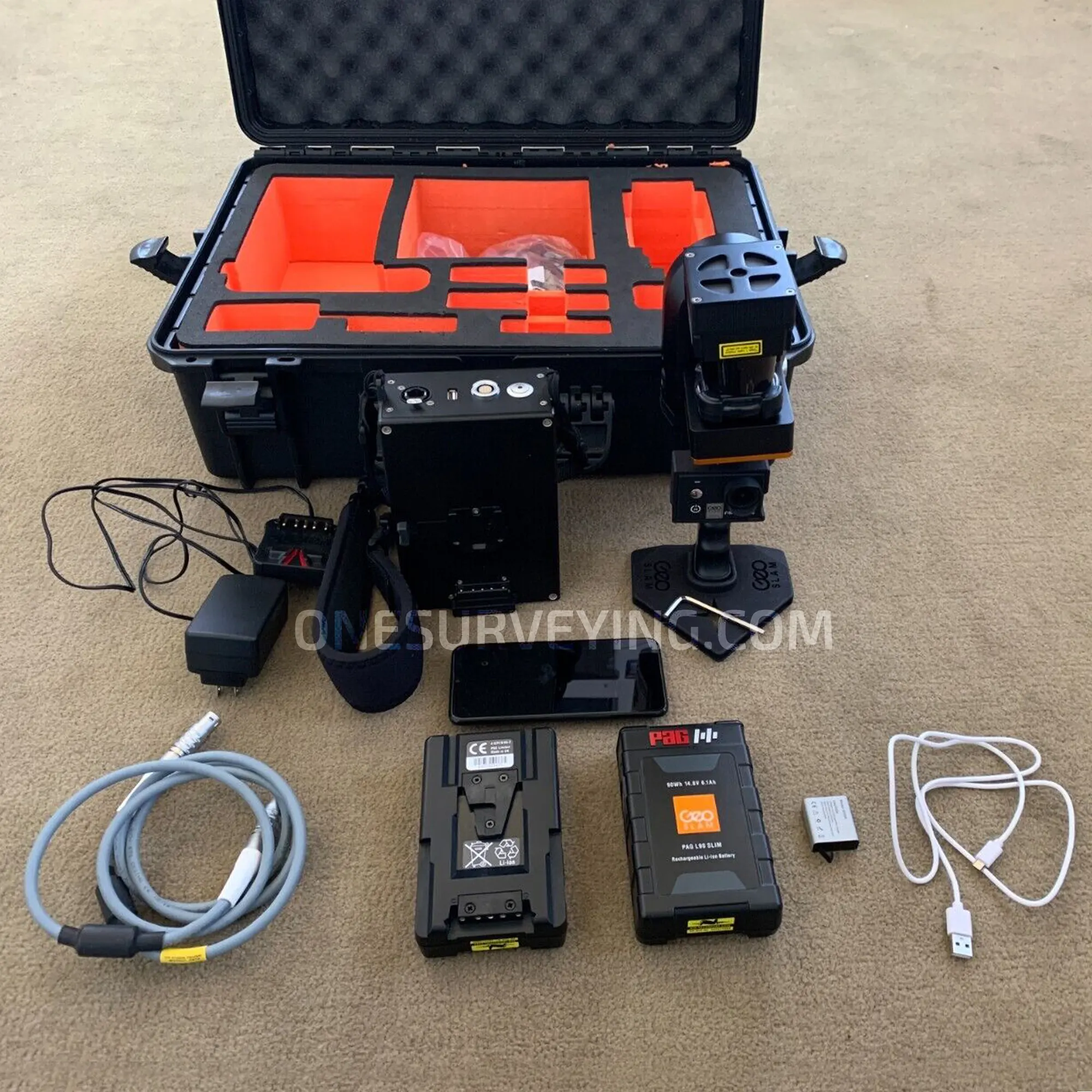
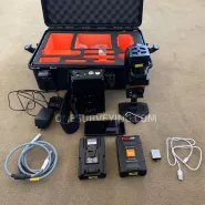
Package includes;
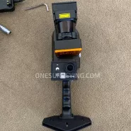
- GeoSLAM ZEB REVO 3D Laser Scanner
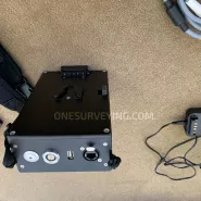
- GeoSLAM ZEB REVO RT Processing Unit
- Geoslam ZEB REVO Main Cable
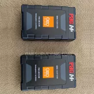
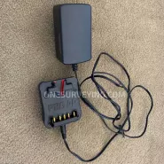
- 2X ZEB-REVO RT Battery, ZEB-REVO RT Battery Charger
- Shoulder Strap
- ZEB-CAM Cable (Compatible with RT Processing Unit)
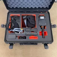
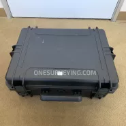
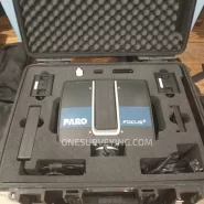
- Heavy Duty Carry Case
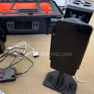
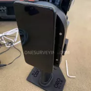
- Magnetic Mount (Tablet or Cell Phone)
- Reference Base
- Huawei Phone
- GeoSLAM Connect and GeoSLAM Care come STANDARD with every ZEB scanner
- GeoSLAM Connect software
- 3-year hardware warranty when a valid GeoSLAM Care package is in place
Optional ZEB REVO RT Accessories:
- GeoSLAM Cradle: Allows you to mount your ZEB for vertical deployment
- Carbon Fiber Pole: This allows you to mount your ZEB for mapping at height
- ZEB Pano: Add 360 panoramic photography to your point clouds
- ZEB Cam: For colorized point cloud and referenced photos
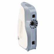
GeoSLAM ZEB-REVO RT Handheld 3D Scanner, Scan, process and track your progress as you go
Scan, process and track your progress as you go. The ZEB Revo RT is handheld, lightweight and easy to use, allowing you to rapidly build highly accurate 3D point clouds within minutes, while on the move. Gain real-time insight into your scan, see the areas you’ve covered (or missed) and the route you’ve taken before you leave site. Simple, comprehensive SLAM for everyone.
GeoSLAM ZEB-REVO RT is a handheld mapping system which can be used in many environments, particularly indoor, underground or hard to reach areas. Allowing you to scan & process simultaneously, as you walk Real-Time. Optional add-on video camera GeoSlam ZEB-CAM Firefly 8S for the ZEB-REVO. ZEB-CAM incorporates a Hawkeye Firefly 8S action video camera. The image data collected by the camera can be viewed alongside the 3D point cloud created by the ZEB-REVO and used to extract contextual information. Simply attach the ZEB-CAM to the underside of your standard REVO unit and begin scanning. ZEB-CAM captures live video footage of your survey environment as you walk and scan. Optical flow technology is utilised to accurately synchronise the video and scan data together in GeoSLAM’s Hub software.
GeoSLAM ZEB-REVO RT is a handheld mapping system which can be used in many environments, particularly indoor, underground or hard to reach areas. Allowing you to scan & process simultaneously, as you walk Real-Time.
Optional add-on video camera GeoSlam ZEB-CAM Firefly 8S for the ZEB-REVO. ZEB-CAM incorporates a Hawkeye Firefly 8S action video camera. The image data collected by the camera can be viewed alongside the 3D point cloud created by the ZEB-REVO and used to extract contextual information. Simply attach the ZEB-CAM to the underside of your standard REVO unit and begin scanning. ZEB-CAM captures live video footage of your survey environment as you walk and scan. Optical flow technology is utilised to accurately synchronise the video and scan data together in GeoSLAM’s Hub software.
ZEB-REVO RT Solution
The brand new realtime solution from the experts in “go-anywhere” 3D mobile mapping technology. Handheld, lightweight and easy to use laser scanners that allow you to rapidly collect and process scan data, simultaneously whilst on the move.
go-anywhere’ 3D mobile mapping – Data capture with our products is as simple as ‘walk and scan’. Map a 3-storey building in just 30 minutes to an accuracy level of 15mm or scan, view and export up to 10,000 m2 (105,000 sq. ft.) in under 1 hour. Join our customers as they measure building plans 10 times faster than traditional tools, deliver BIM models earlier than expected and experience project cost savings of up to two thirds. And with our solution, customers can expand their range and scope of services by taking on projects that would otherwise have proved too difficult or time consuming using traditional survey techniques.
“go-anywhere” 3D mobile mapping:
ZEB-REVO RT versatile technology is adaptable to any environment in all industries, especially complex and enclosed spaces, without the need for GNSS. The complete solution that allows you to start mapping the world around you today with any WiFi enabled device. Scan, visualize and process simultaneously, as you walk. Flexible mounts and deployment options means that GeoSLAM hardware can be handheld, drone or robot mounted or even attached to a pole or cable. Weighing only 3.5kg, the handheld device can be used to quickly scan multi-level environments, and with ratings up to IP64 level, our technology is designed for use in hazardous and harsh environments.
Rapid scanning time
within minutes anyone can be operating GeoSLAM tech, and our intelligent software (which uses the most established and robust SLAM mapping algorithm in the industry) can map a 3-storey building in just 30 minutes to an accuracy level of 15mm, or map a 10,000 m2 (105,000 sq. ft.) depot in under an hour. Walk through your target survey environment to record more than 43,000 measurement pts/sec, and from scan to full 3D BIM model in under an hour!
Saving you time and money
you can capture and model complex data up to 10 times faster, enabling you to successfully complete projects in minimum time with little or no disruption at the project site. With proven ability to scan faster than traditional surveys or static terrestrial laser scanning, you can reduce scanning time, in many cases by half. Customers often find that the ZEB-REVO or ZEB-REVO RT is highly complementary to their existing scanning hardware, as the combination allows indoor handheld scanning to take place at the same time as the outdoor scanning, saving project time and money.
GeoSLAM HUB Software
- Transform your scan data into actionable intelligence using GeoSLAM Hub
- Industry-leading SLAM processing to generate accurate 3D point clouds from mobile data
- Automatic registration of multiple scans and geo-referencing of datasets to control
- Import, view and interrogate data captured from all GeoSLAM mobile mapping devices
- Generate simple and fast 3D measurements and 2D CAD deliverables
- Easily export data for use with all major third-party CAD and GIS software packages
SPECIFICATION
- Maximum range: Up to 30m in optimal conditions; Typical max range 15-20m
- Points per scan line: 432 (0.625 interval)
- Field of view 270o x 360
- Scan rate: 100 lines/s; 43200 points/s
- Scan range noise: ±30mm
- Laser safety classification: CLASS I Laser Product; (21 CFR 1040.10 and 1040.11)
- Laser wavelength: 905nm
- Operating conditions: Temperature 0o C to 35o C; Humidity – non condensing
- Power supply: 14.8VDC, approx. 5.0A
- Weight: Scanning head 1.0kg; Carry case and contents 4.1kg
- Dimensions: Scanning head 80x113x140mm (287mm incl handle); Carry case and contents 470x220x180mm
- Battery life: Approximately 90 minutes continuous use